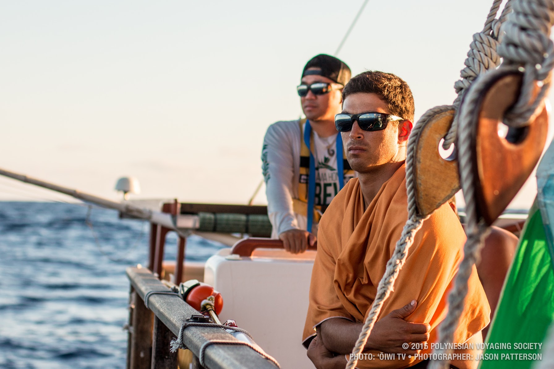
Catch a Star with Hawaiian Voyager Austin Kino

Before humans settled the Hawaiian Islands, expert Polynesian navigators used the stars as guides during their open-ocean voyages.
This indigenous knowledge was nearly lost to time, until a tight-knit group of intrepid native Hawaiians rekindled the flame of celestial navigation as a way to reinvigorate and reconnect with Hawaiian culture. In 1975, Hōkūle‘a, a traditional double-hulled sailing canoe, set sail from Kāne‘ohe Bay on O‘ahu, inspiring a new generation of cultural renewal for Hawa‘i’s people.
Fast-forward to 2014, and Polynesian Voyaging Society Apprentice Navigator Austin Kino set off aboard Hōkūle‘a on the first leg— from Honolulu to Tahiti—of the Mālama Honua Worldwide Voyage. Under the leadership of master navigator Nainoa Thompson, the crew used their knowledge of the stars, the winds, and the currents to guide them safely to their destination, and many others around the world for the next three years.
There are four main star lines that celestial navigators use to establish their position in the ocean, but only two of which can be seen at all times. We caught up with Austin to help us find and name some of the most important stars to celestial navigation in the summer night sky, which are found in Ka Iwikuamo‘o, The Backbone.
Hōkūpa‘a – North Star
“When out at sea in the Northern hemisphere, you can measure the distance of the North Star from the horizon, which tells you what latitude you’re at. I make a shaka with my hand with my thumb pointing down. When I place my thumb on the horizon, if the North Star is at the top of my pinky, that is the measure for 21 degrees, which is Hawai‘i’s latitude.”
To find Hōkūpa‘a, locate the Big Dipper, one of the easiest constellations to pick up with the human eye. In the ladle, line up the two stars at the end. These two stars make a straight line to the North Star. From the south shore, you’ll find the North Star looking north over the mountains towards the North Shore.
Hōkūle‘a – Arcturus
“Hōkūle‘a is the name of Hawai‘i’s first voyaging canoe, which translates to “star of gladness.” It’s also Hawai‘i’s zenith star, which means that when Hōkūle‘a is at its highest point in the night sky, the top of its arc, it is right over Hawai‘i. To navigate out at sea, we have to imagine that we’re standing still, and all we can do is point the canoe in the right direction. If we want to make a bearing due south, and we have a star that rises directly to the east, then every night we keep that star 90 degrees off our bow. If its there, the bow is pointing due south. You can only use stars accurately to navigate when they’re rising and setting—that’s your compass.”
To find Hōkūle‘a, locate the Big Dipper. Follow the last three stars in the handle and continue the line, which will point to Hōkūle‘a. This star will be overhead just after sunset in the early evening and sets on the western horizon by early morning.
Hānaiakamalama – Southern Cross
“Besides the North Star, at first we didn’t have a good star in southern sky to tell latitude when we got back to Hawai‘i. True south is a vacancy of stars. If one side of the sky is cloudy, the more stars you know the better. Nainoa Thompson figured out in a dream that during summer months, when the cross is standing all the way vertical, if you measure the distance from the top star to the bottom star, it should be the same as the bottom star to the horizon, which indicates Hawai‘i’s latitude.”
To find Hānaiakamalama, continue the line from the last star in the Big Dipper, through Hōkūle‘a, through Hikianalia, Hōkūle‘a’s sister star, and right down to the southern horizon. Look south toward the horizon after sunset and you should be able to see four stars in the shape of a cross, low on the horizon.


